
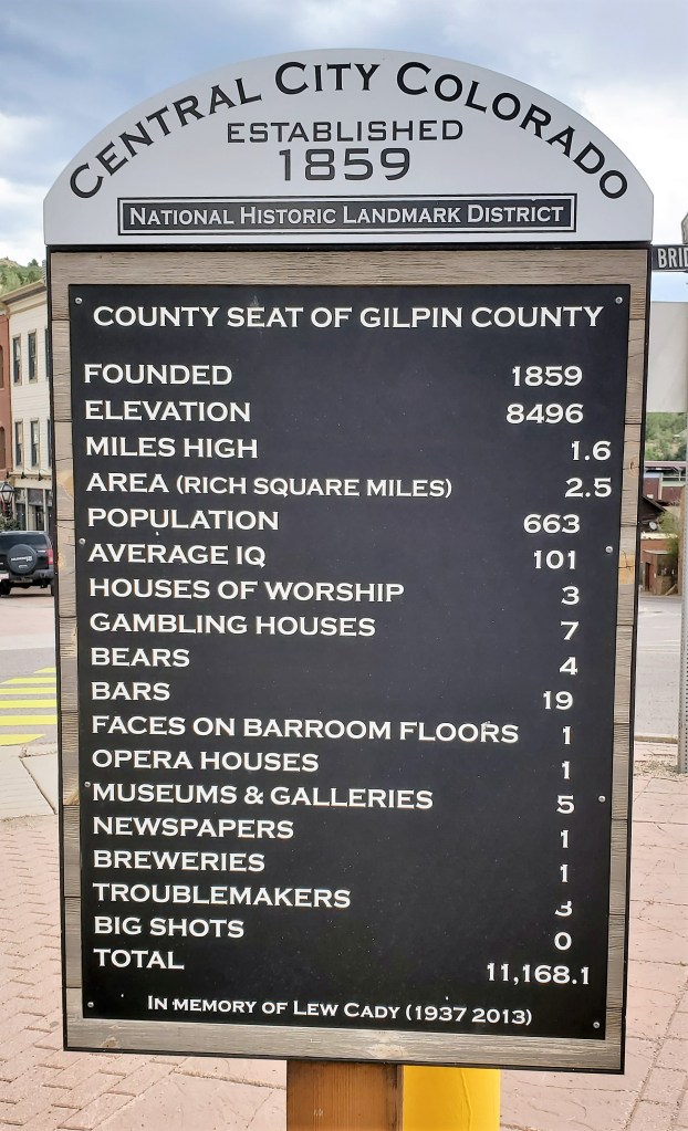
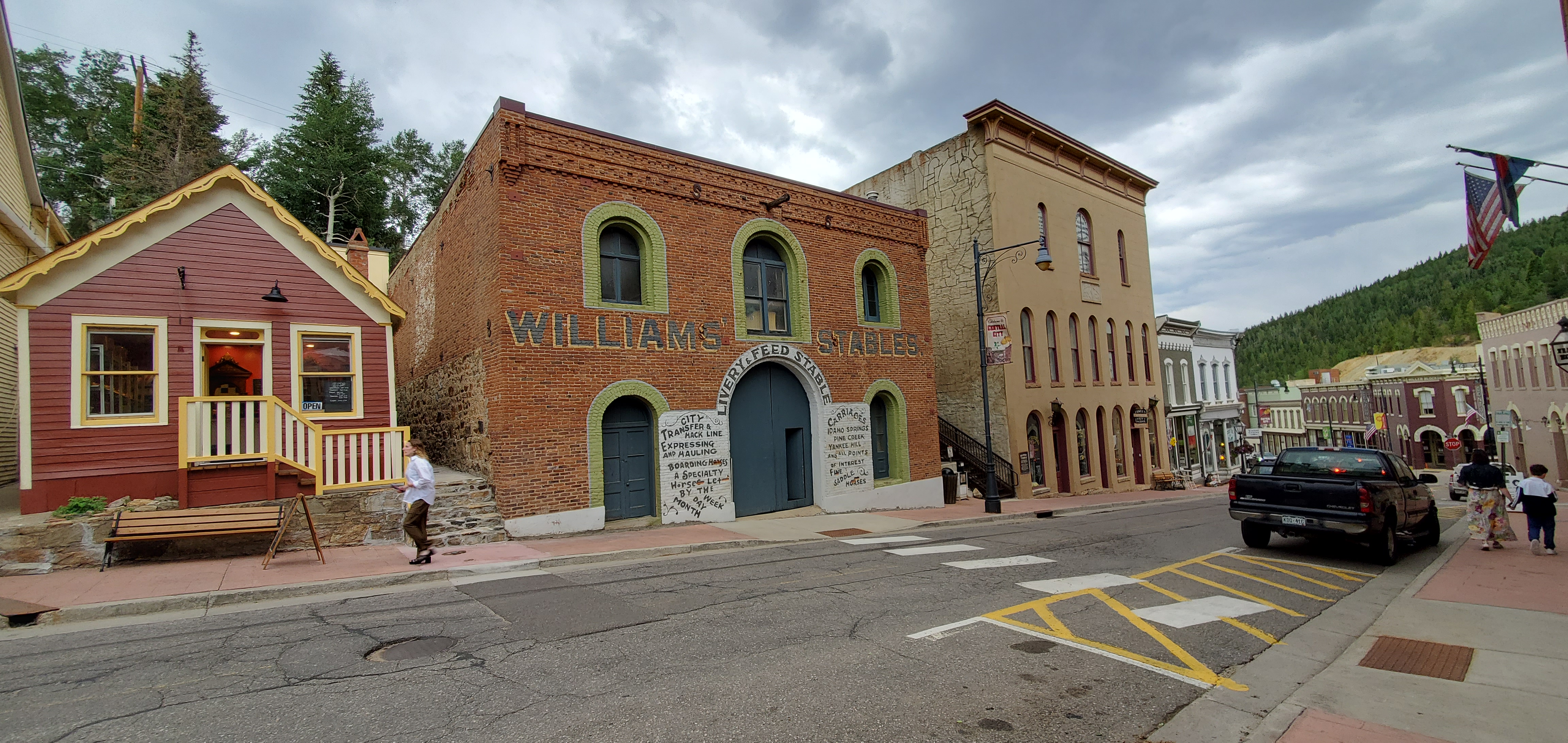
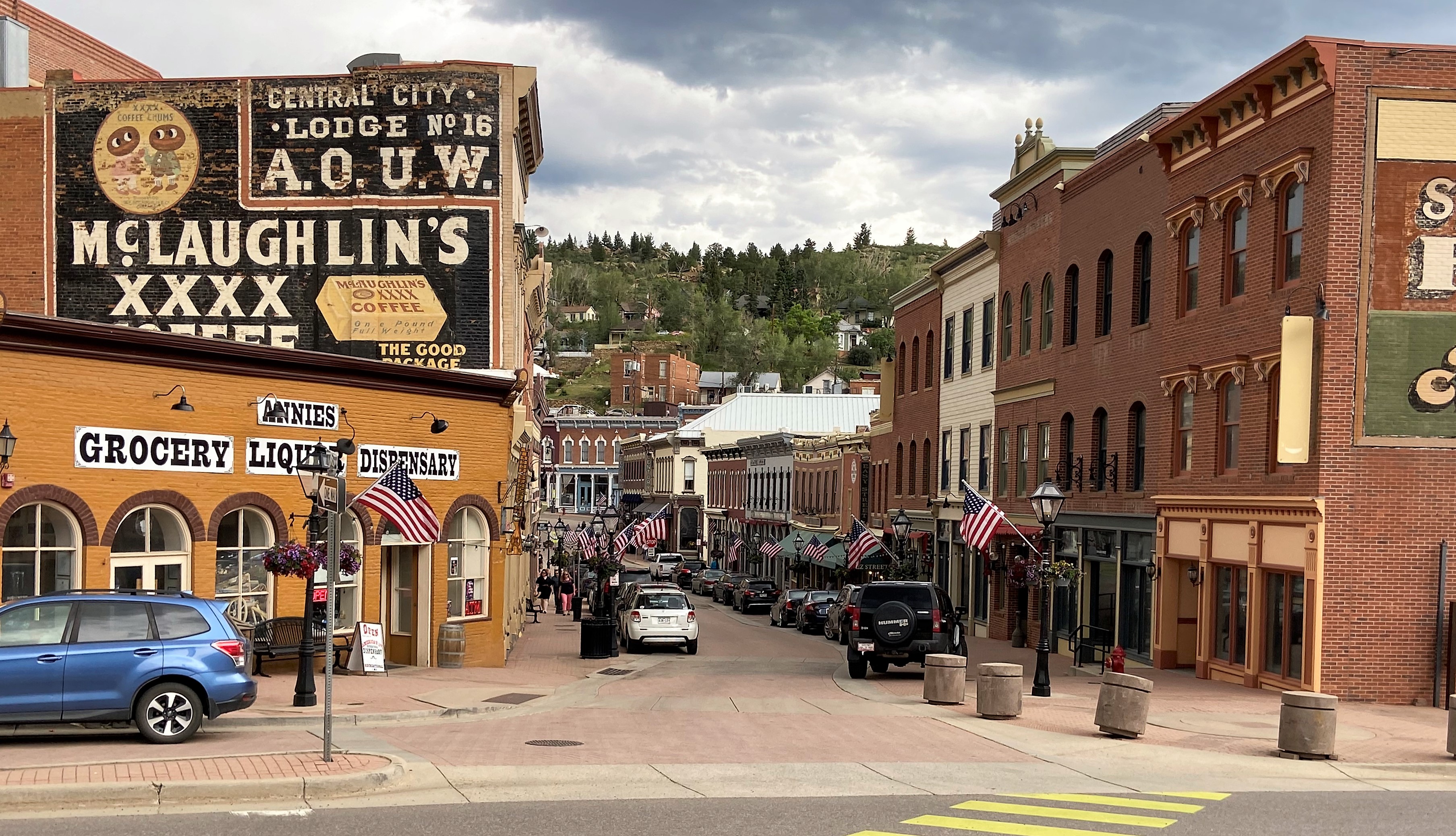
The historic City of Central, commonly known as Central City, is a historic mining settlement founded in 1859 during the Pike’s Peak Gold Rush and came to be known as the “Richest Square Mile on Earth”. Gold mining in the Central City district decreased rapidly between 1900 and 1920, as the veins were exhausted.
Casino gambling was introduced in both Central City and Black Hawk (right next door) in the early 1990s, but had more success in Black Hawk (which has 18 casinos) than in Central City (which has 7 casinos). Black Hawk, which prior to the introduction of gambling was much smaller than Central City, continues to generate more than seven times the gambling revenue that Central City does.
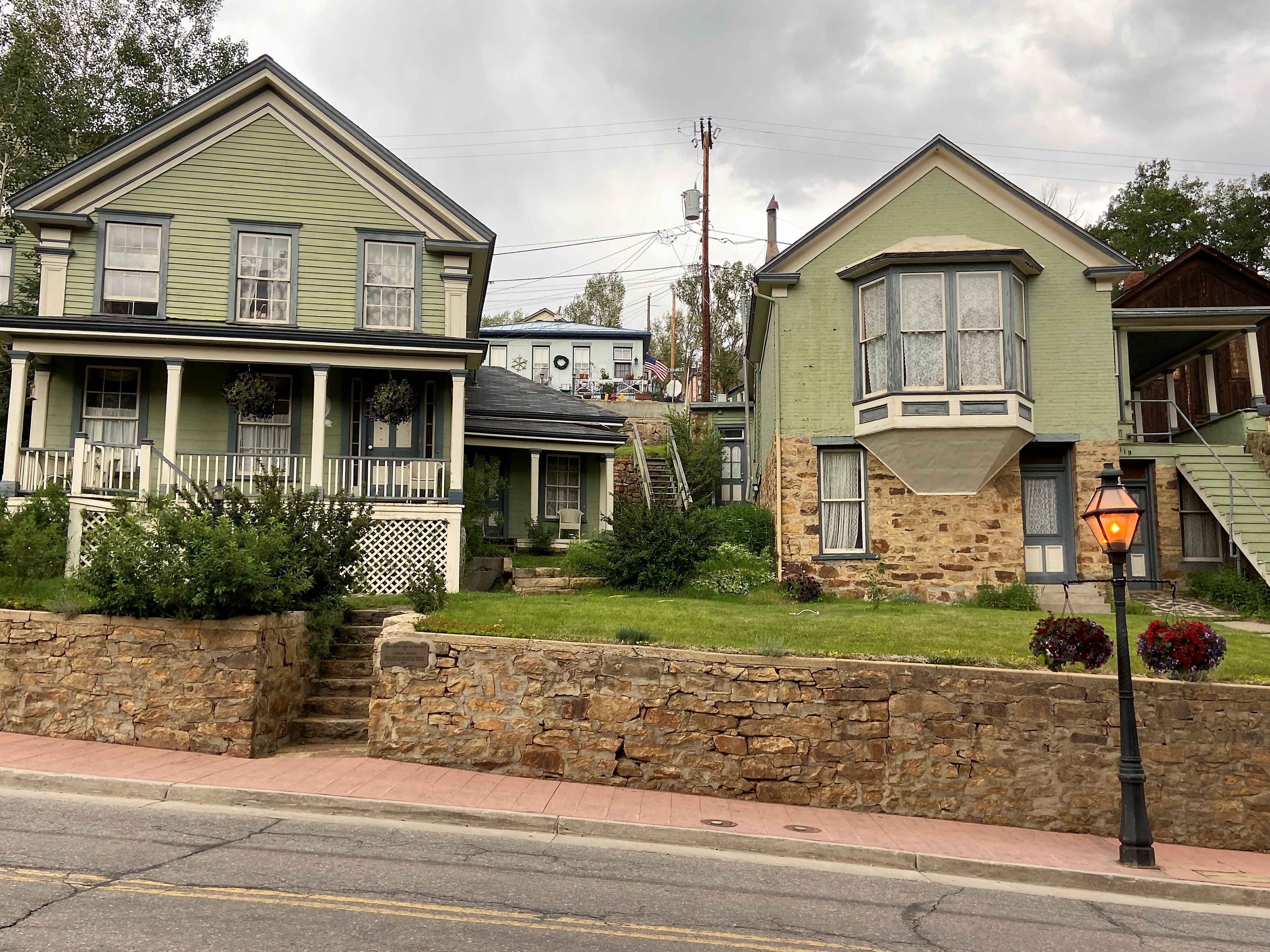
Central City’s appearance today is very similar to how it looked over 100 years ago. After the fire of 1874, the business district was constructed to last – with only buildings of brick and stone being built.
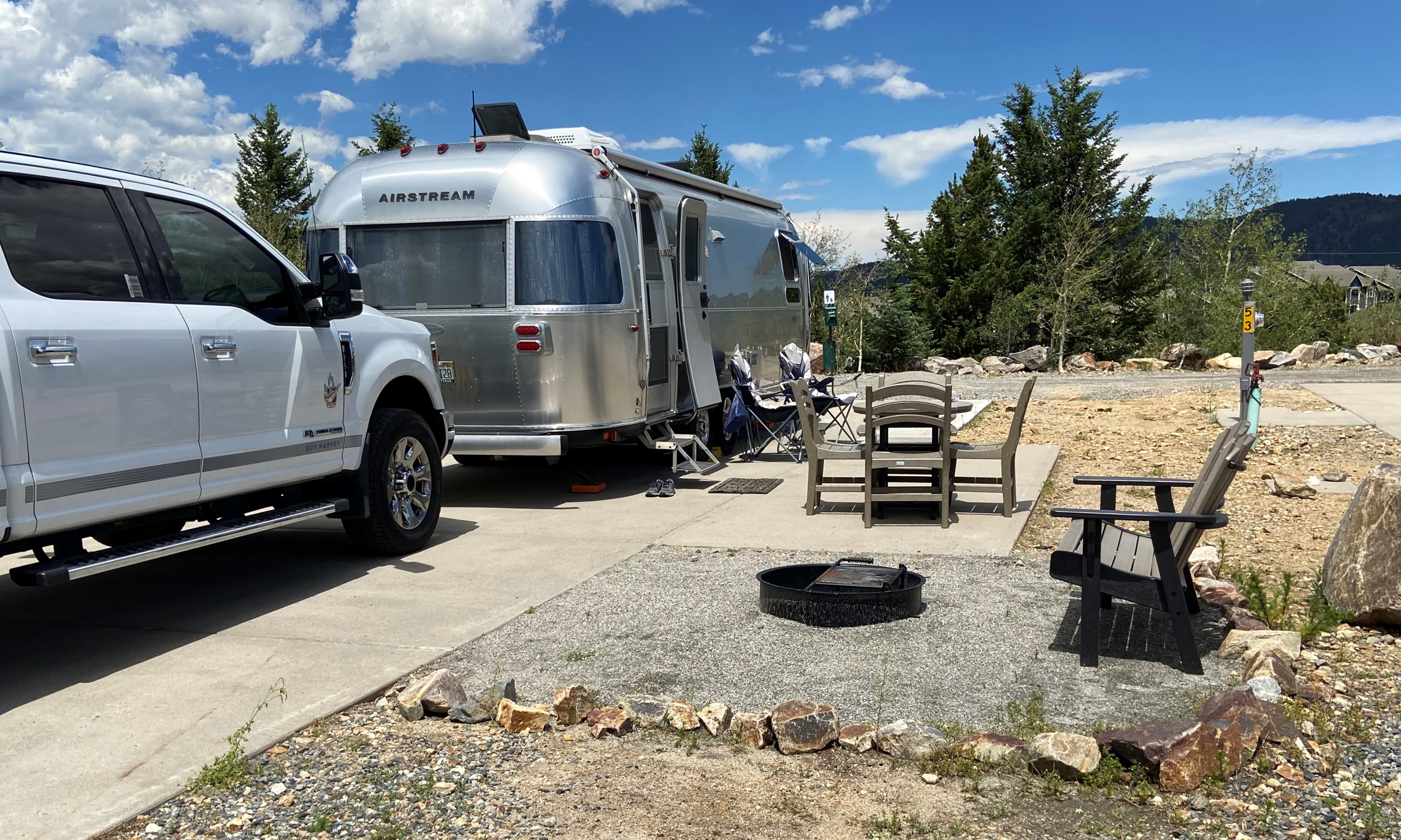
We did not leave any money in the casinos. They actually were not very inviting so we choose not to partake! We did a walking tour of the city and then actually hiked down from the KOA to the city. We dropped over 500ft in one mile and the grade was 10% in some areas!
Idaho Springs founded 163 years ago in 1859 by prospectors during the early days of the Pike’s Peak Gold Rush. The town was at the center of the region’s mining district throughout the late nineteenth century. During the late twentieth century, the town evolved into a tourist center along US Highway 6 and 40 which ascends Clear Creek Canyon through the historic mining district. Today, Idaho Springs has a historical downtown in the central portion, a strip of tourist-related businesses on its eastern end, and mostly residences on its western end.
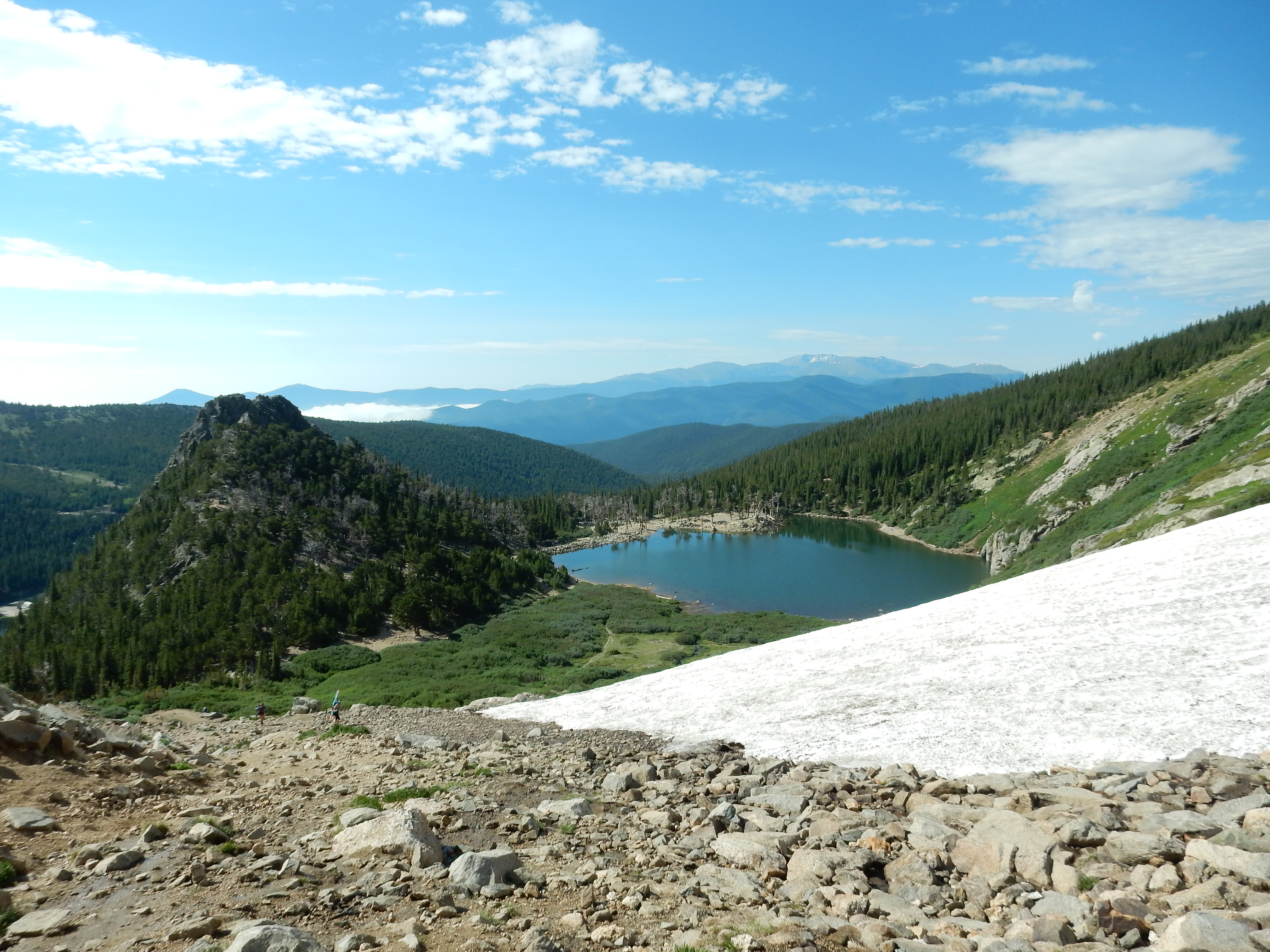
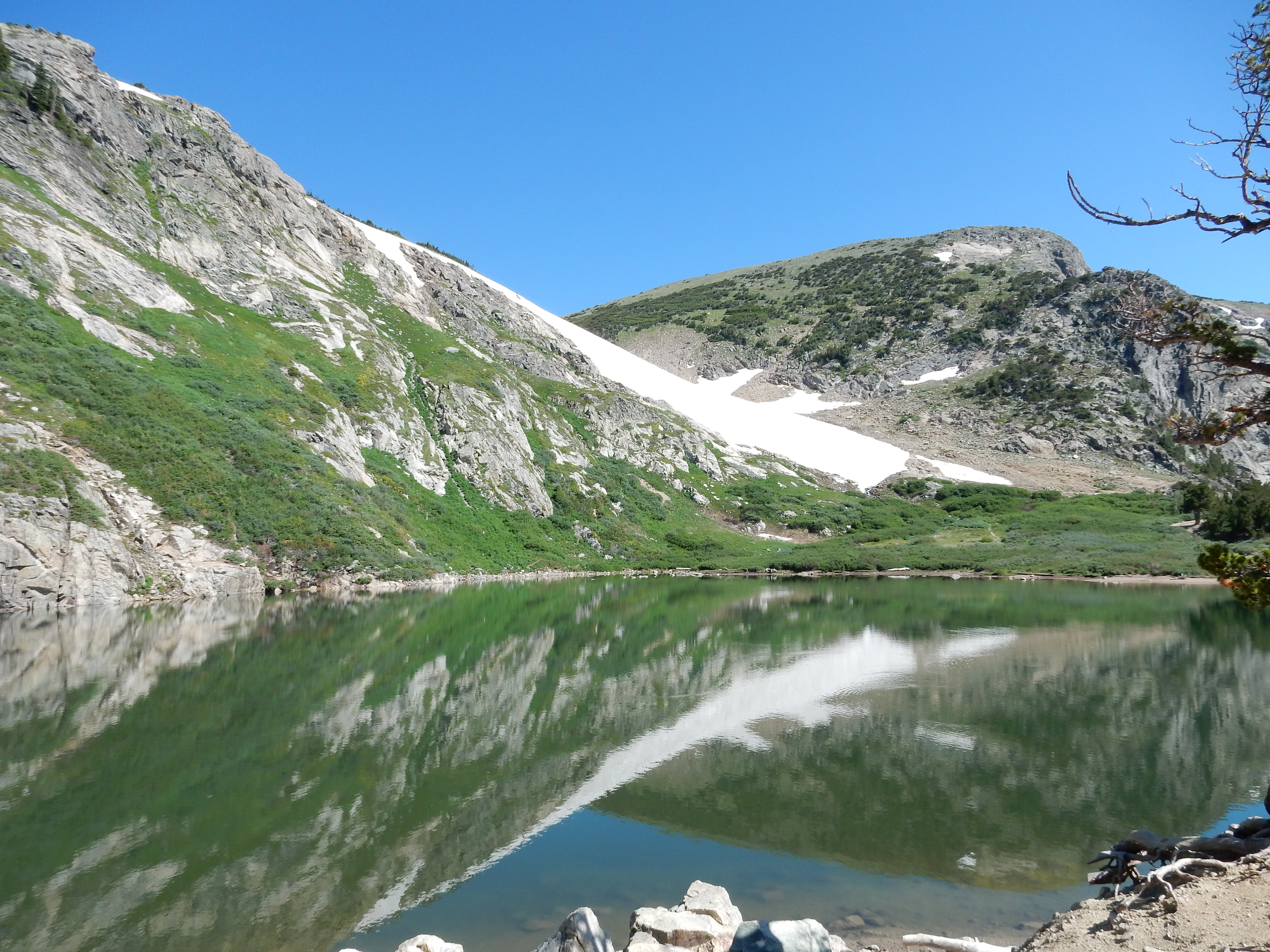
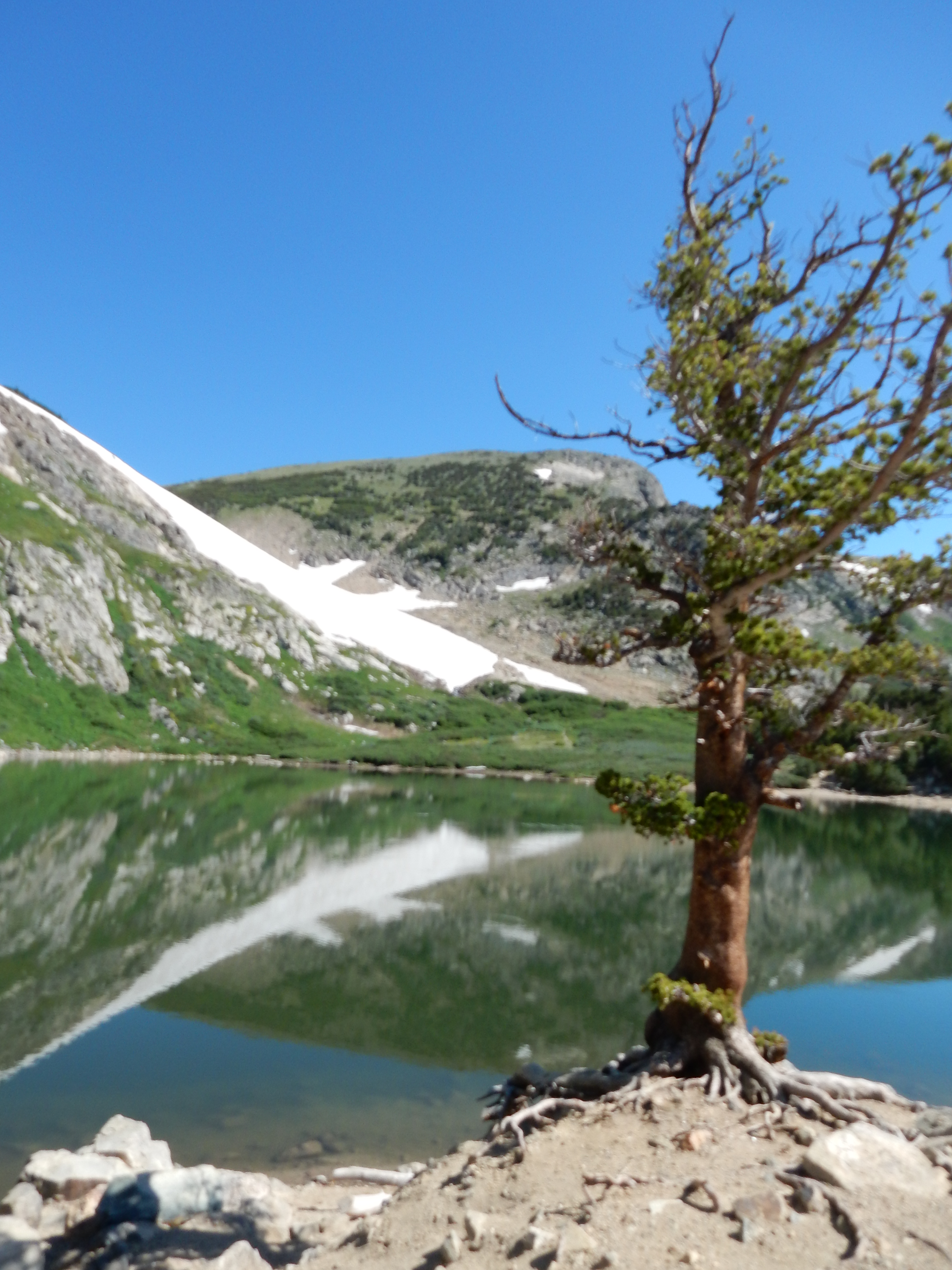
Near Idaho Springs is the St. Mary’s Glacier. This was a fantastic 1.5 mile hike starting at 10318 feet and goes up to over 11000 feet. Locals are still boarding and skiing at the glacier.
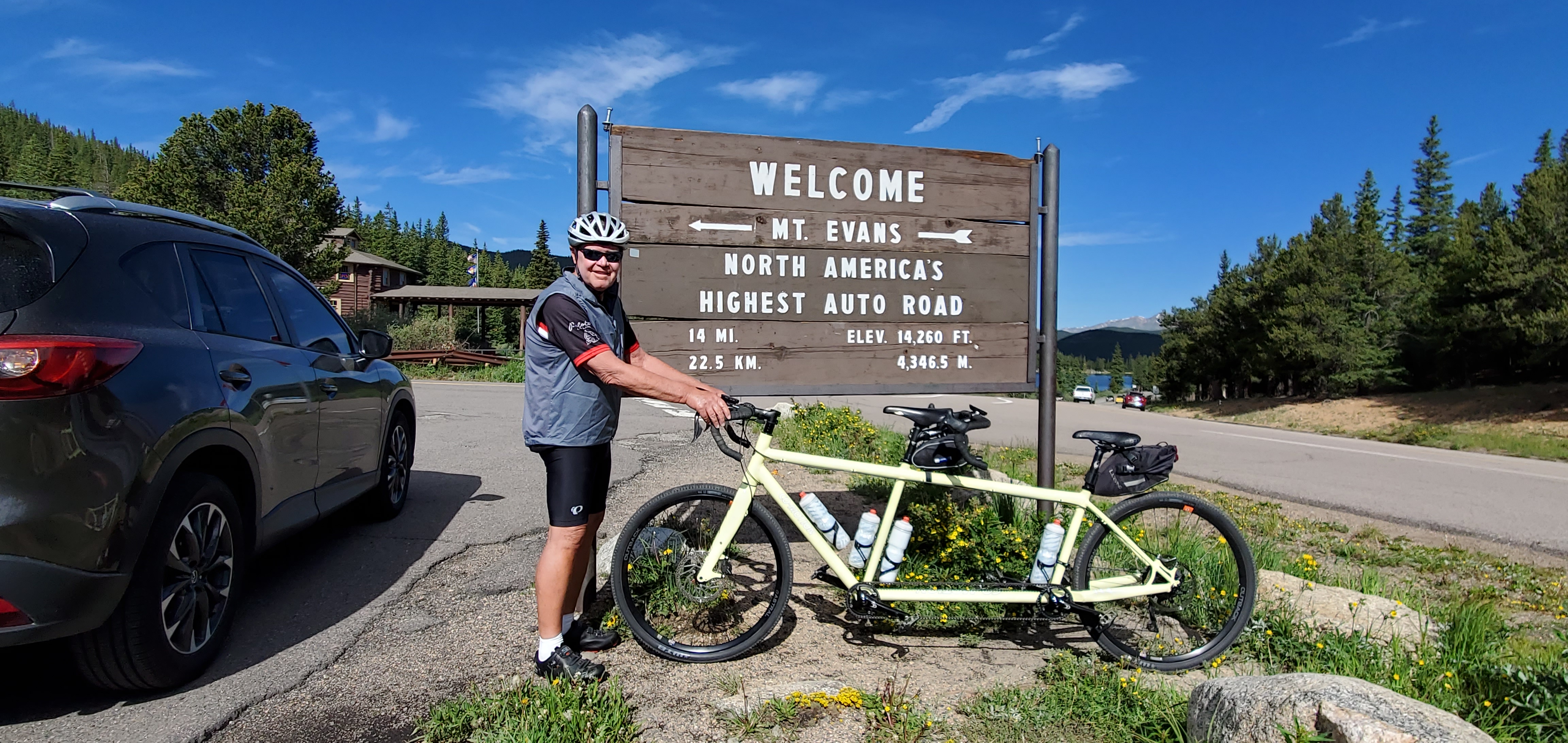
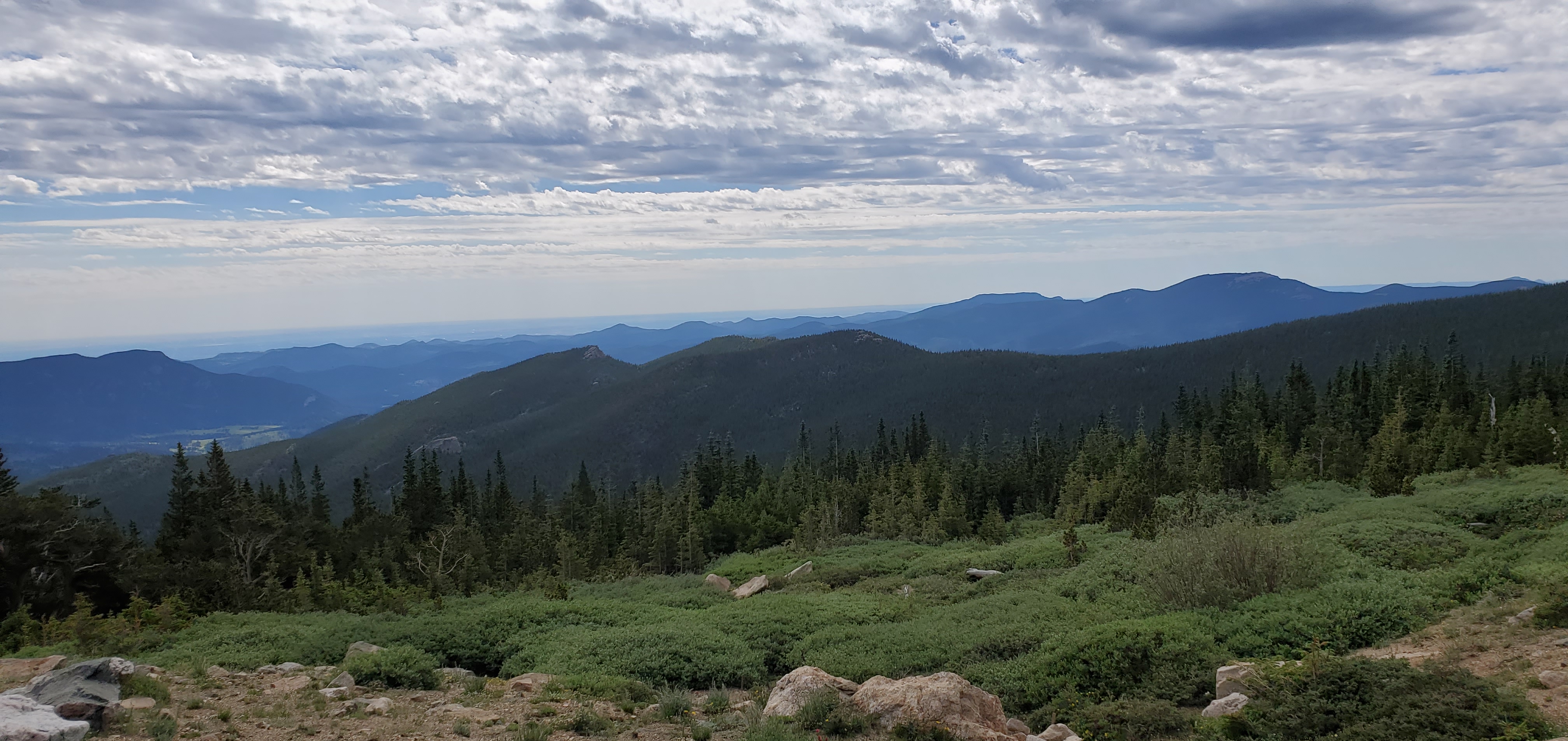
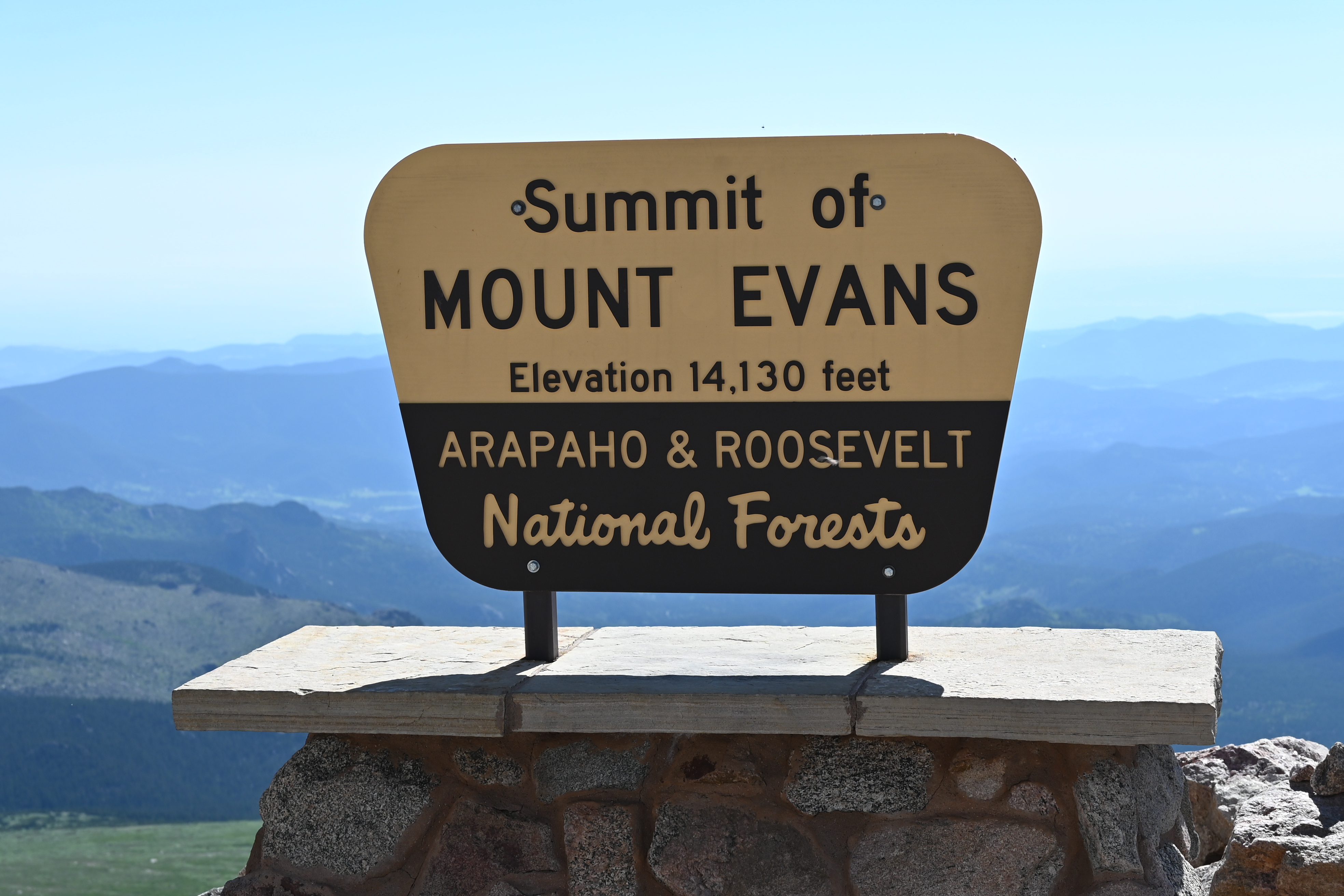
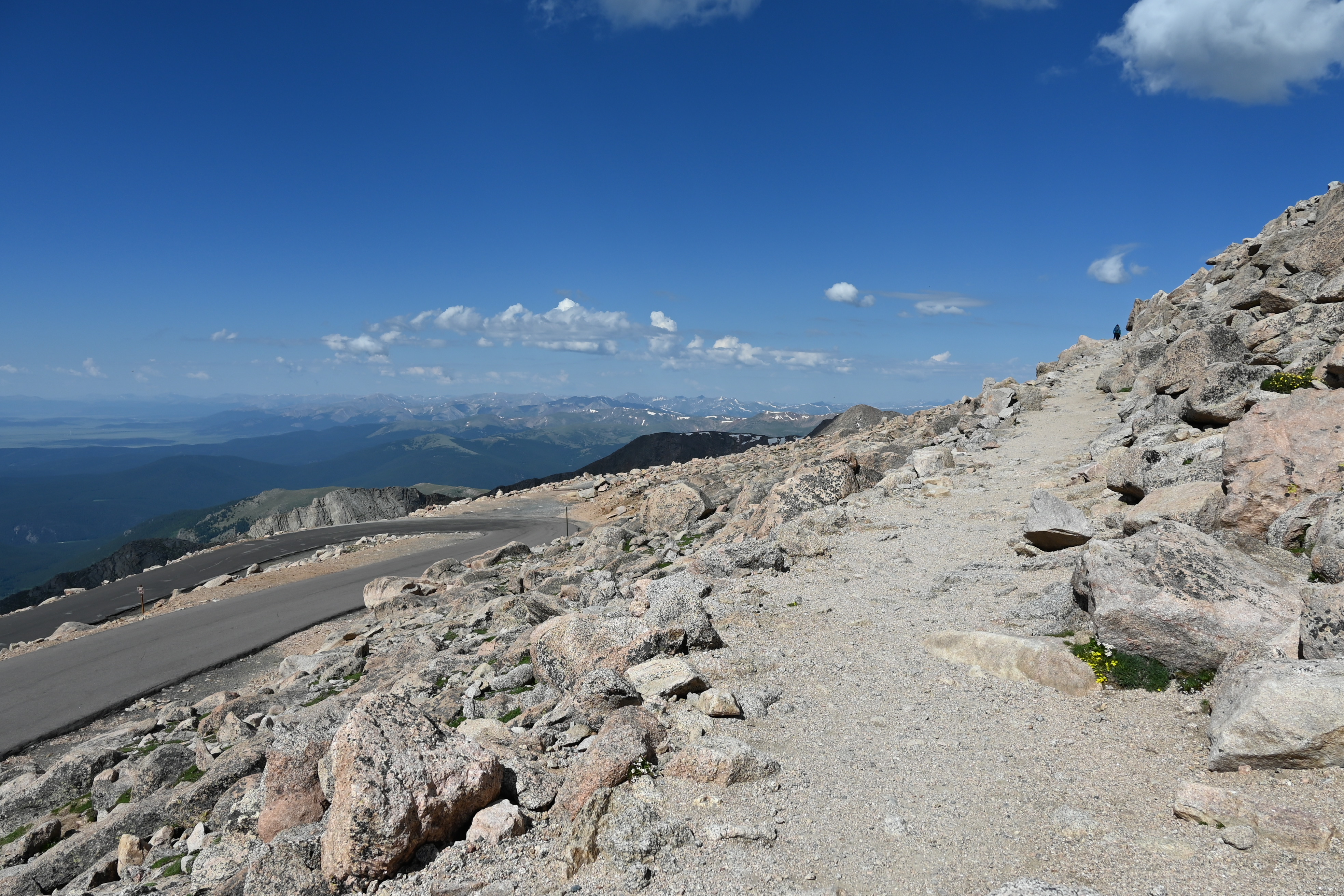
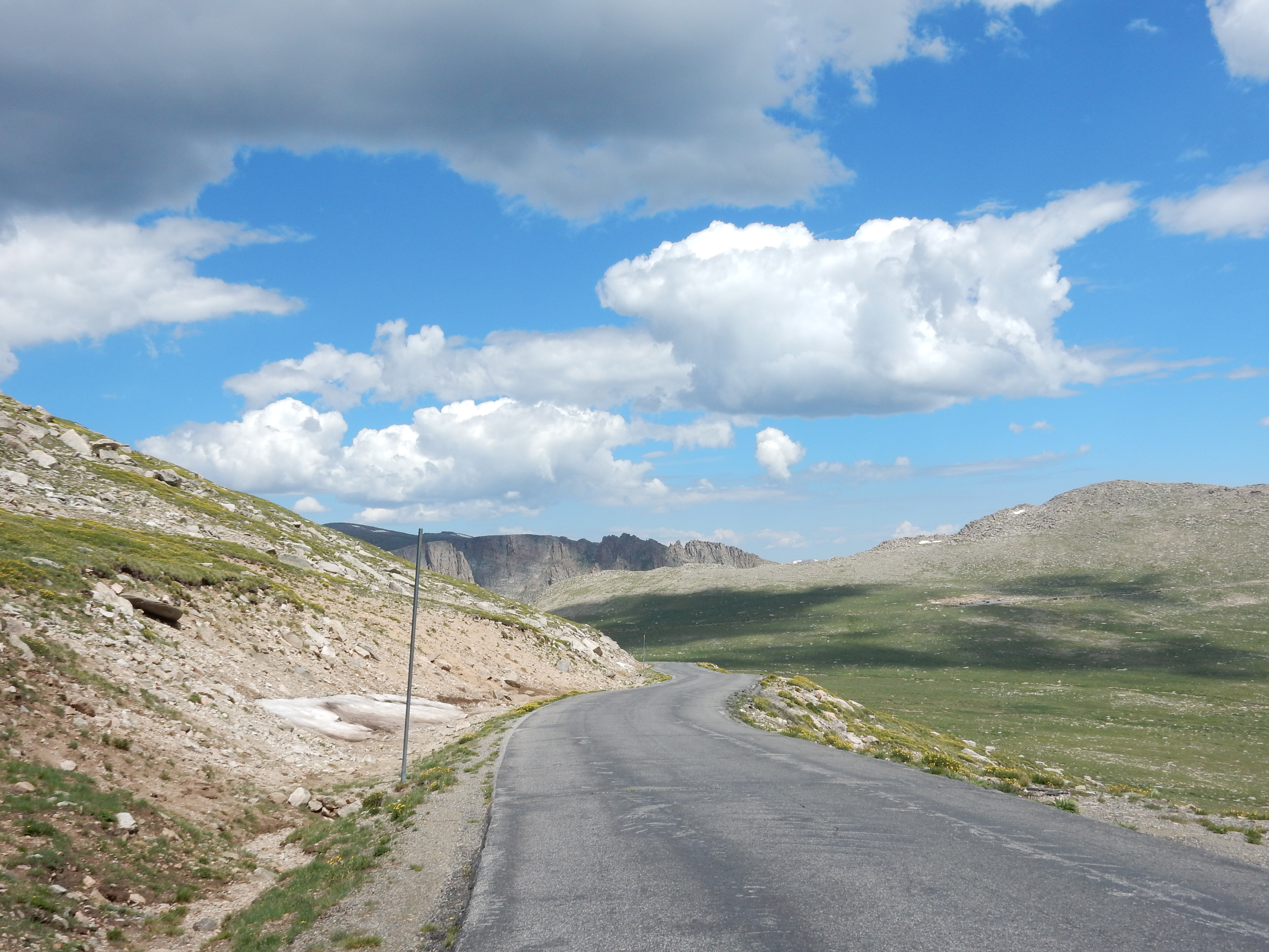
From Idaho Springs there is access to Mount Evans Peak via the Mount Evans Scenic Byway. The 28 mile roadway starts at the elevation of 7540 feet and ends at the parking lot of Mount Evans at 14130 feet. The journey to the parking lot is described as “taking a trip through Canada to Nome, Alaska. Every 1000 feet in elevation gained in the mountain is equivalent to traveling 600 miles north in latitude. In only 45 minutes you drive through landscape that reflects the upper regions of North America. In the Colorado Rockies the Subalpine zone is roughly 10000 – 11500 feet and the Alpine zone is the treeless land above 11500 feet.
What did we attempt to do in and around Mount Evans? We started a ride at
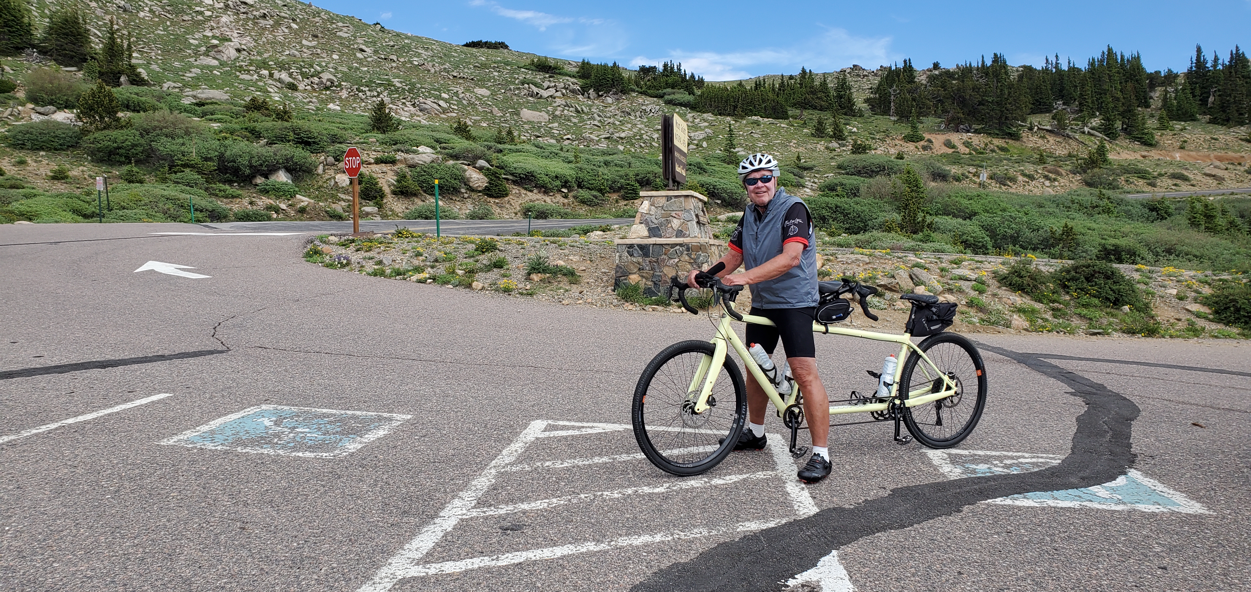
Echo Lake (10600 feet), 15 miles from the top of Mount Evans. and got 3.5 miles up (11540 feet) and bagged it. The road grades were 7 to 8 percent and of course there was car traffic. We were grinding our way up but determined that the descent would have been wicked with the tandem and the air did get a tad thin.
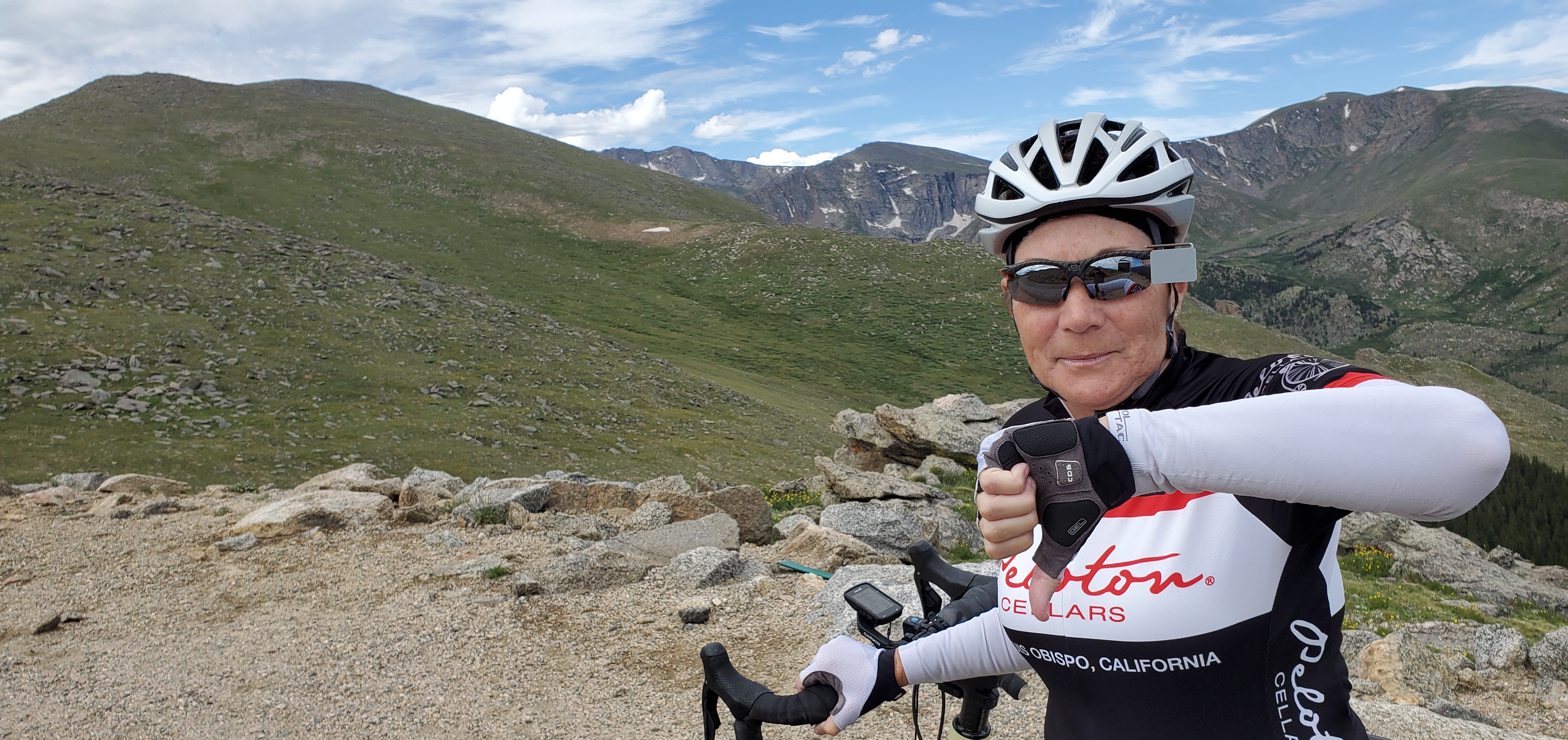
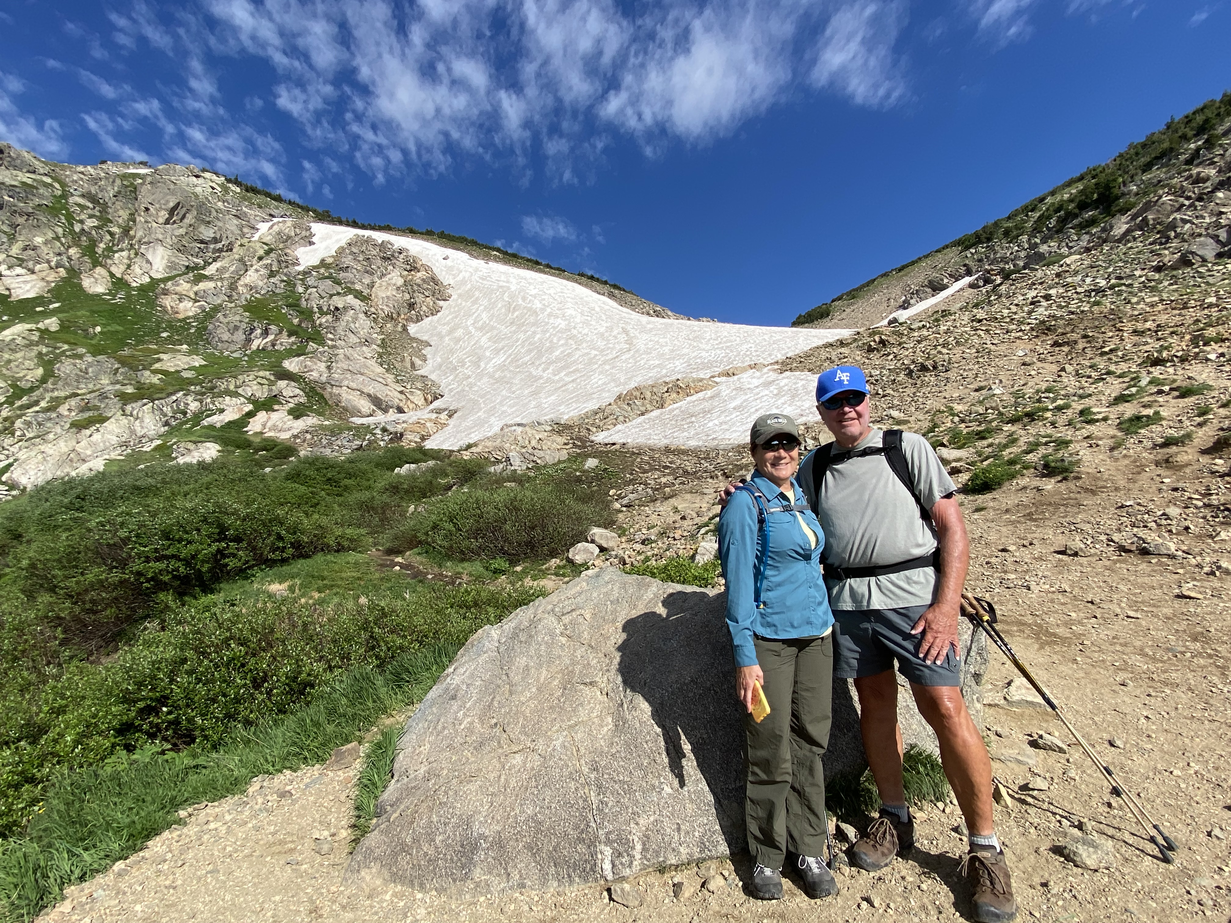
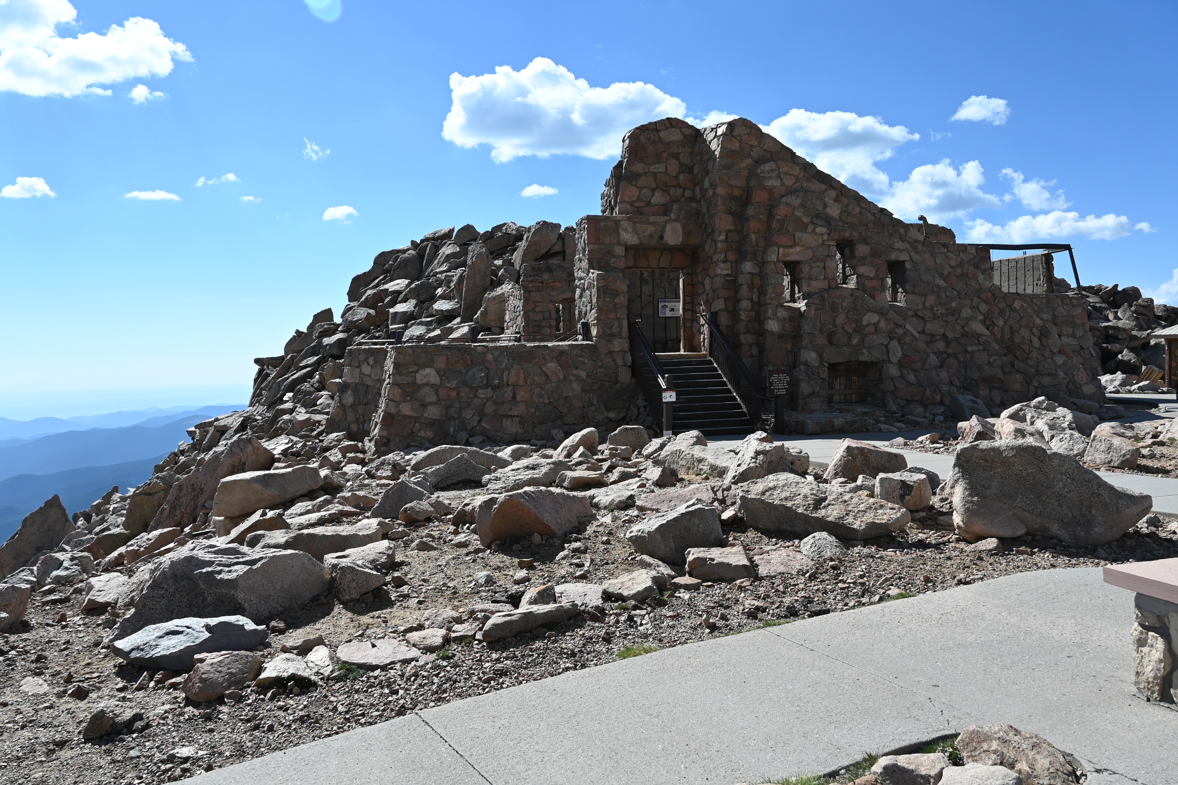
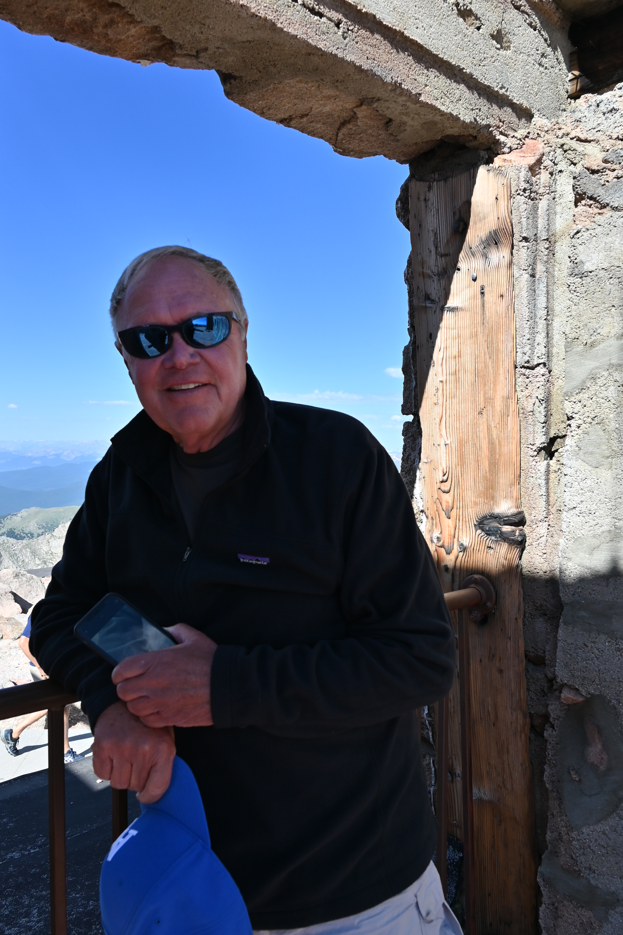
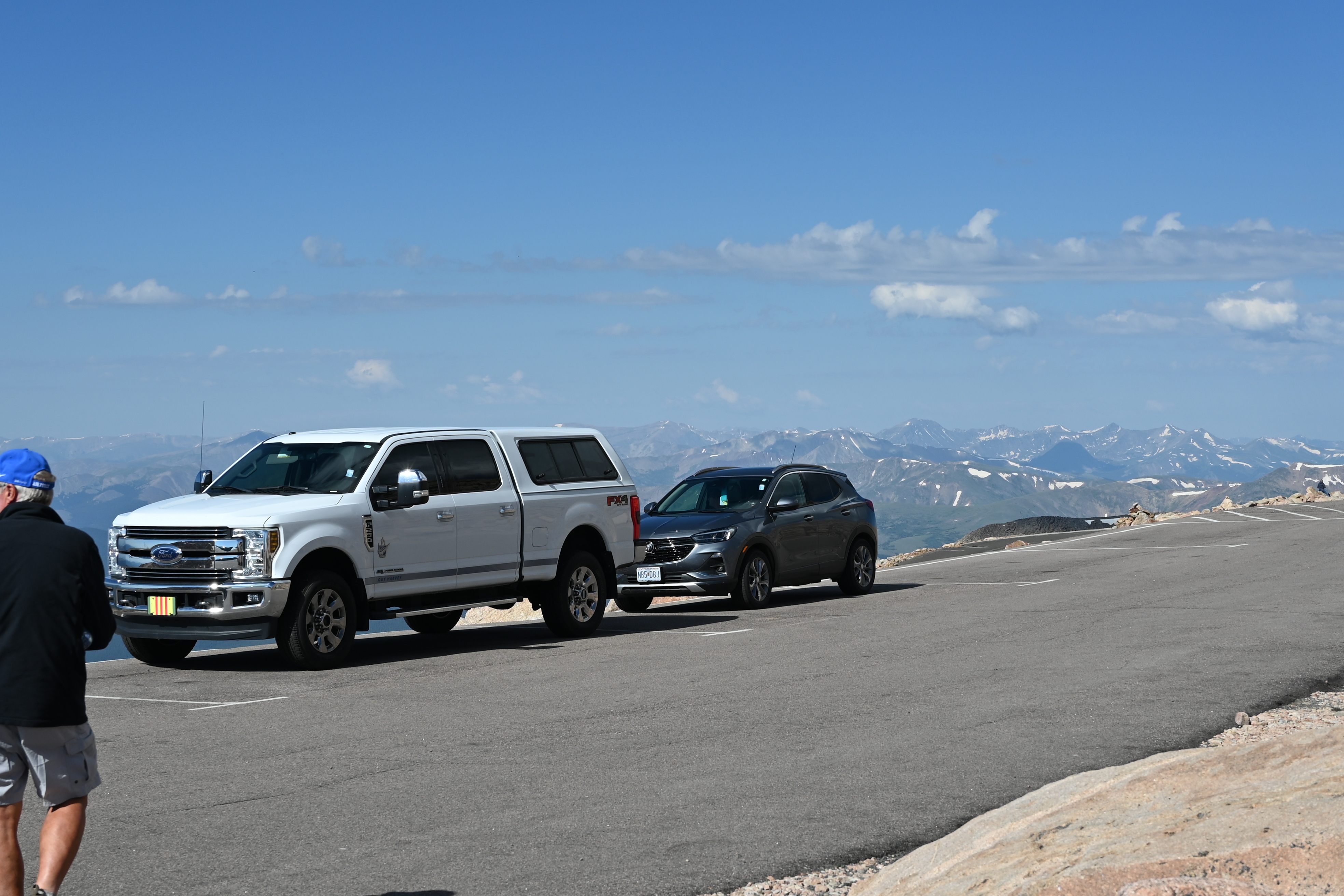
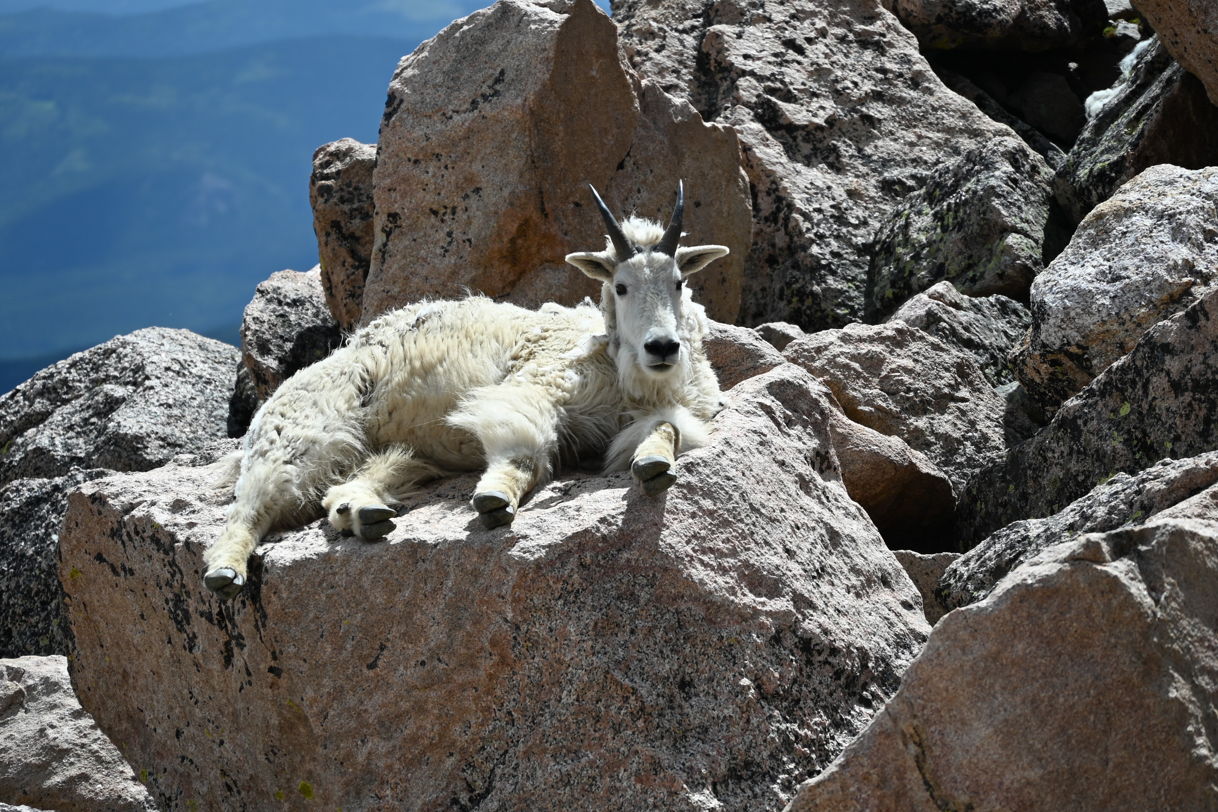
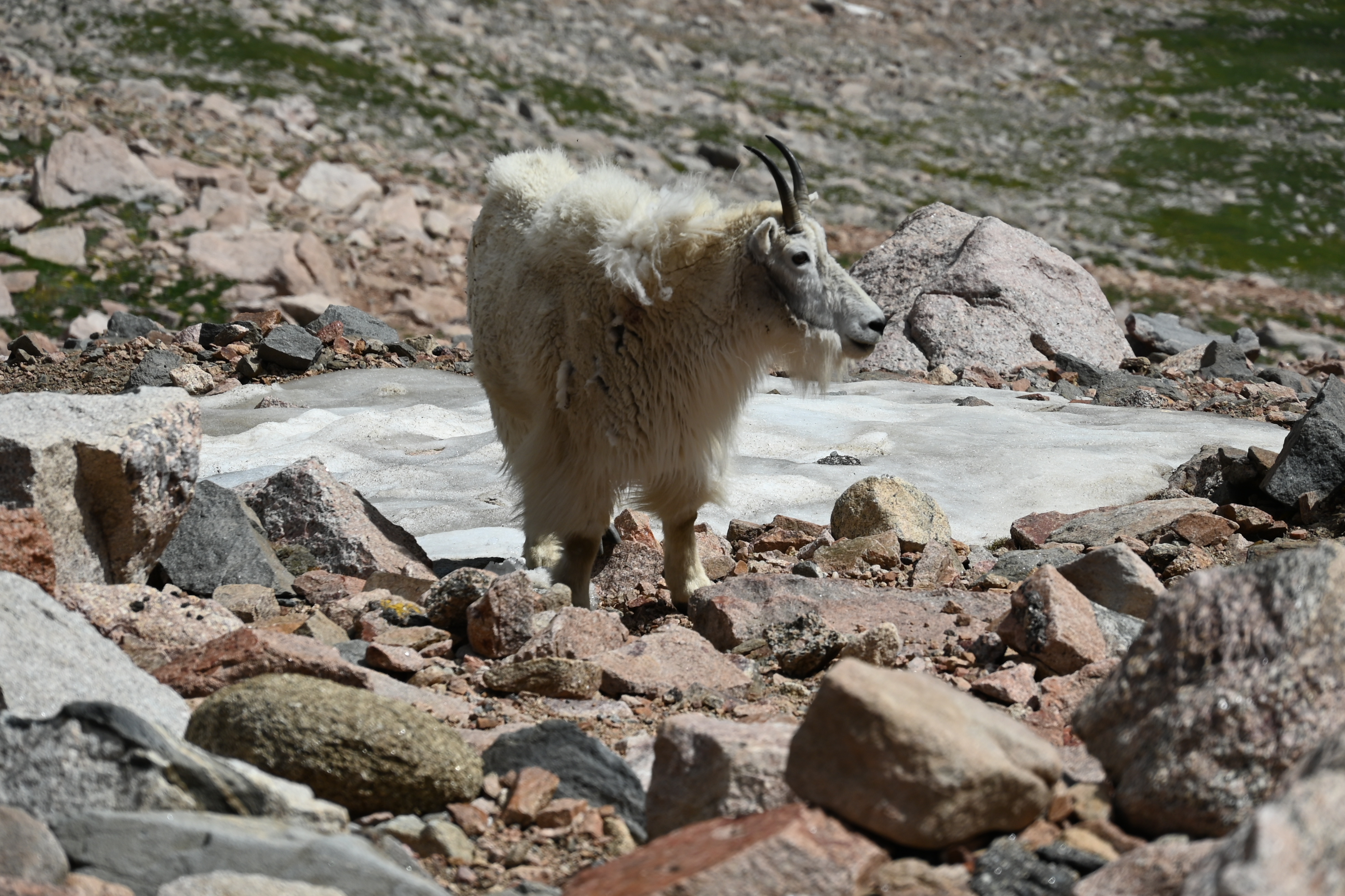
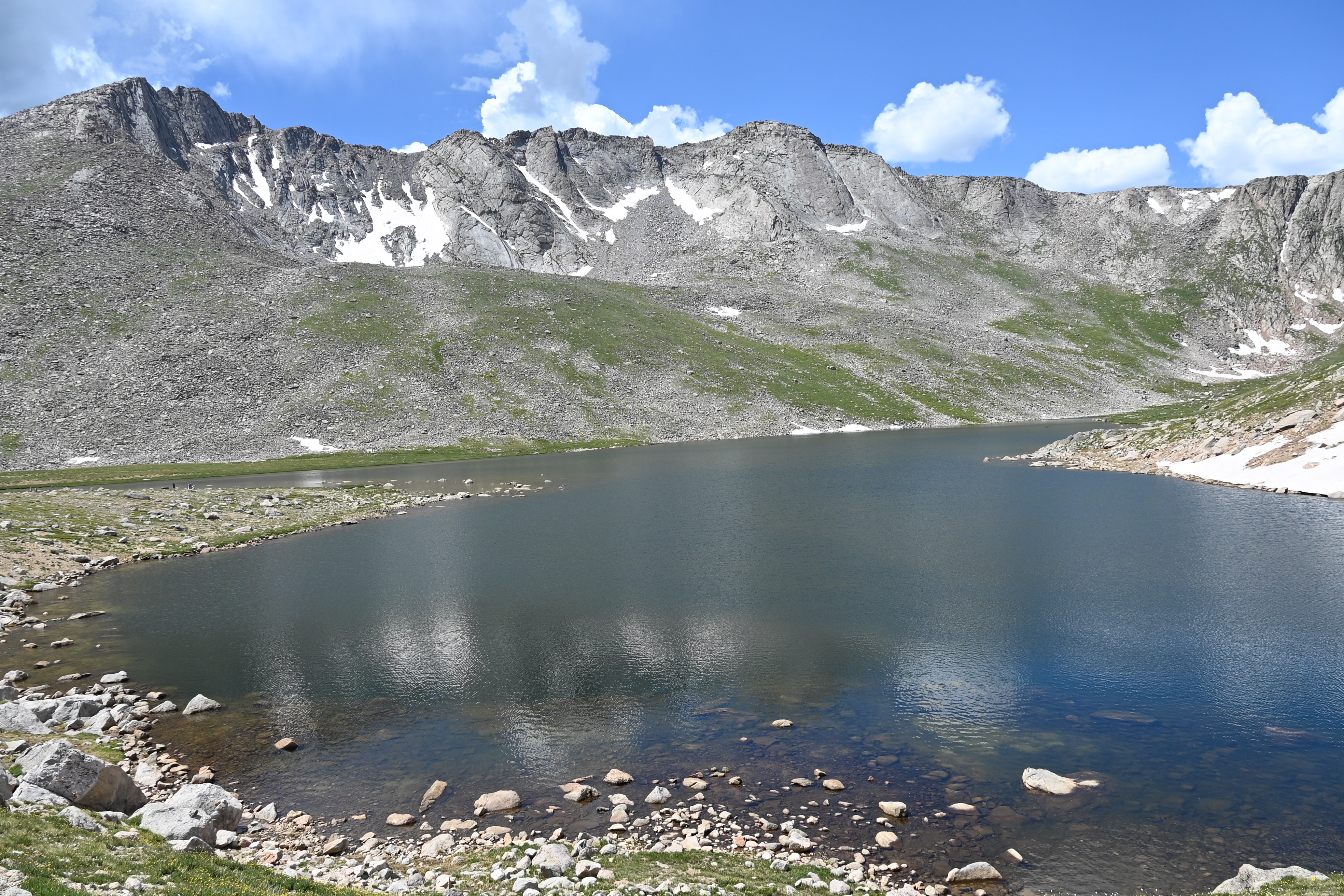
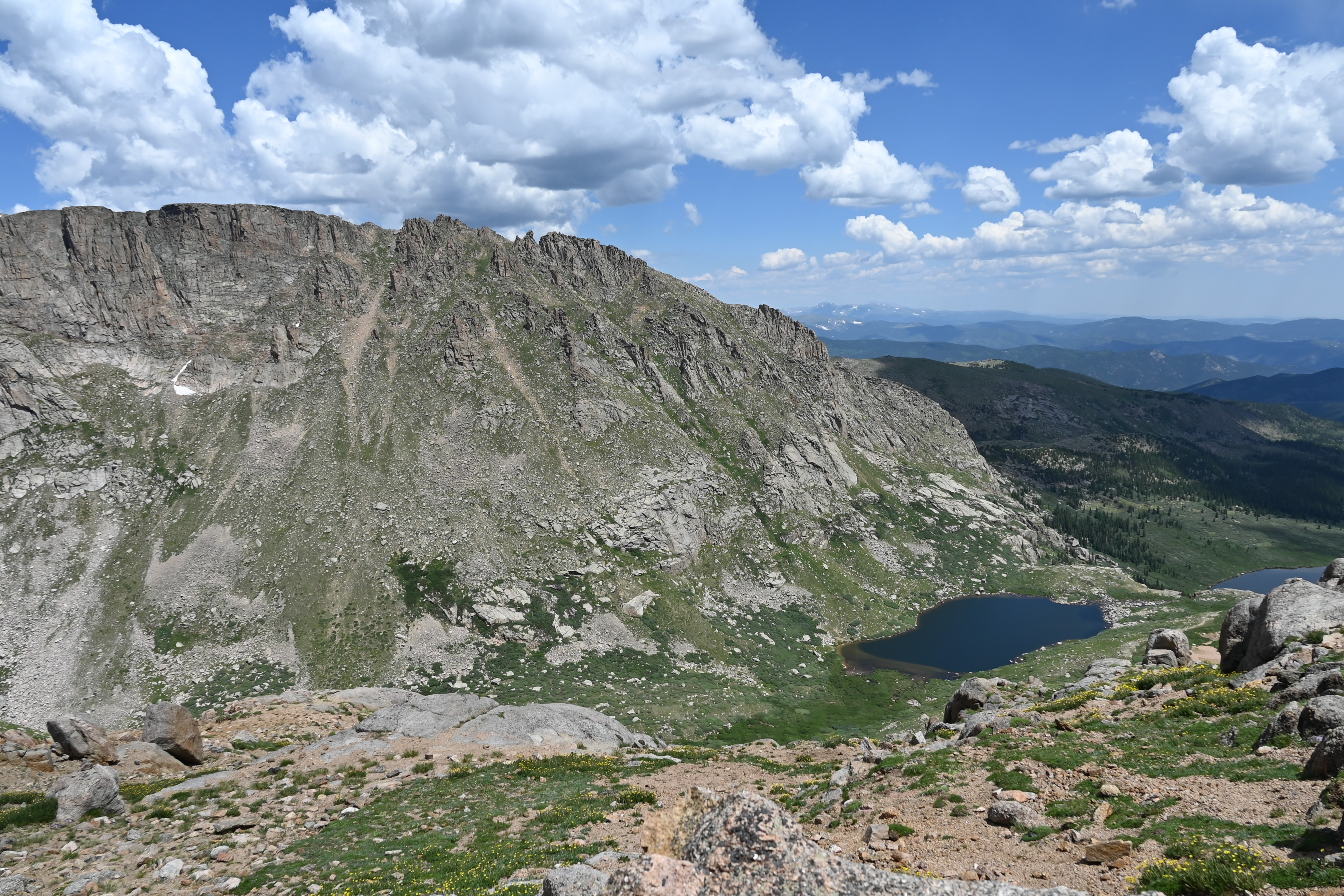
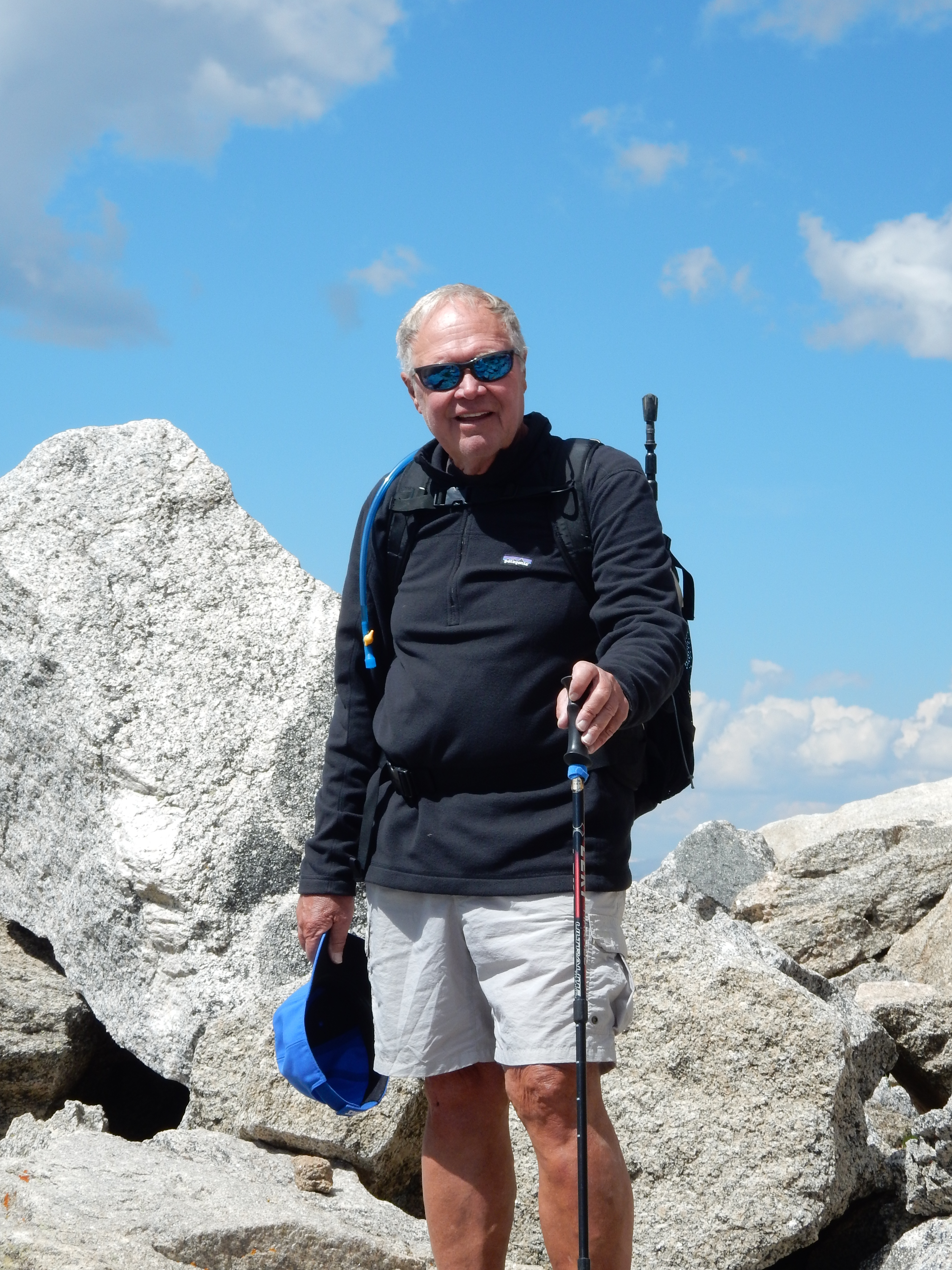
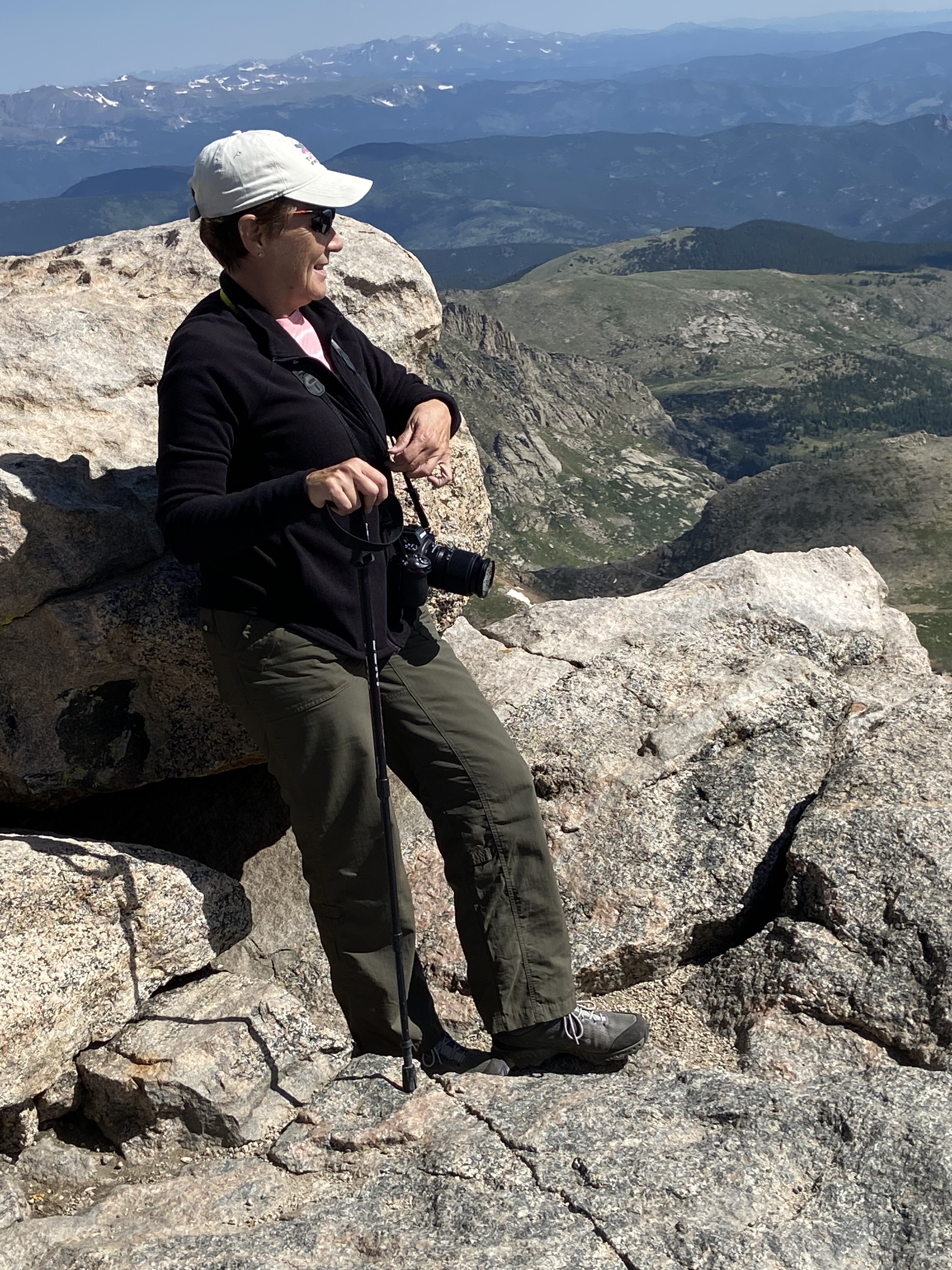
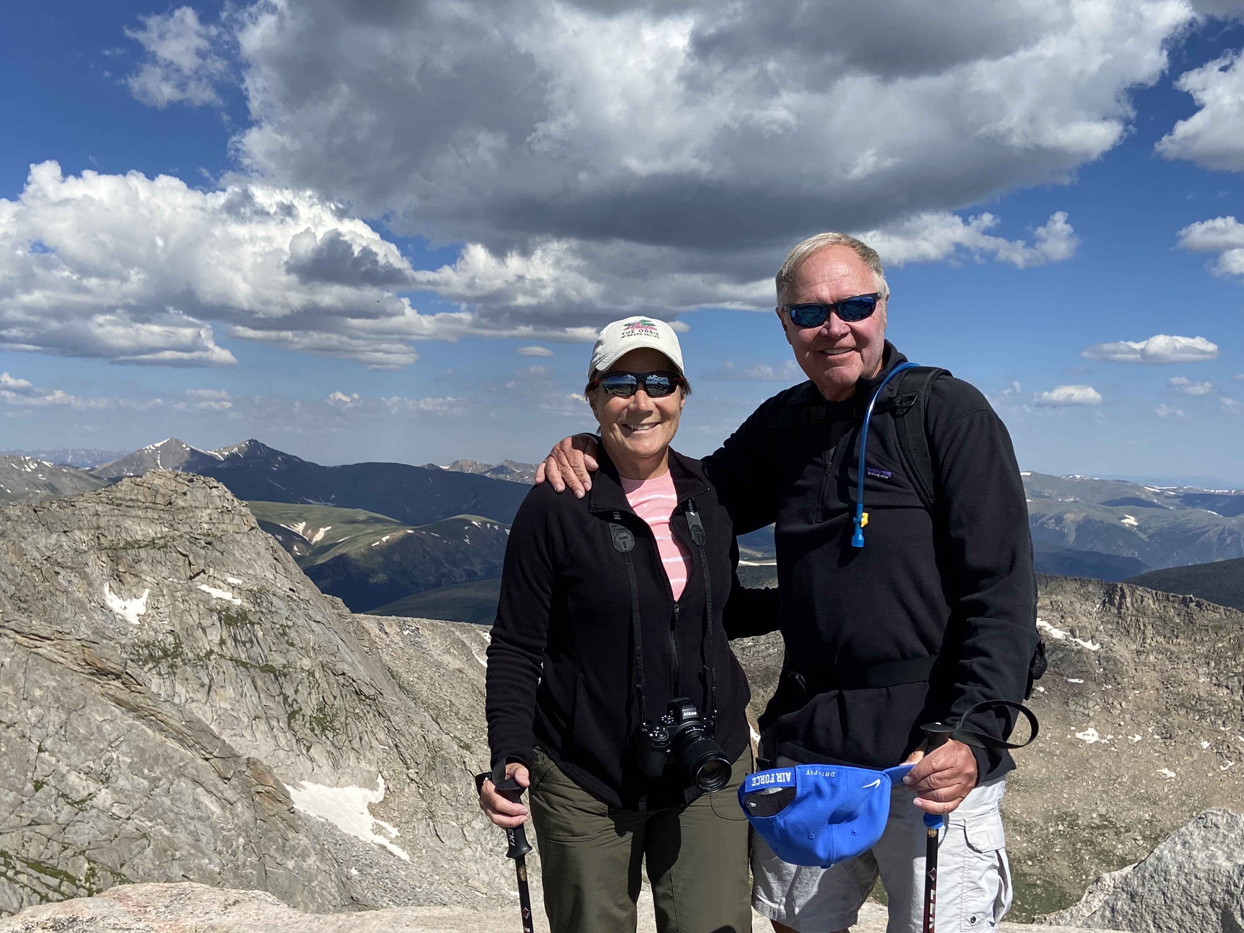
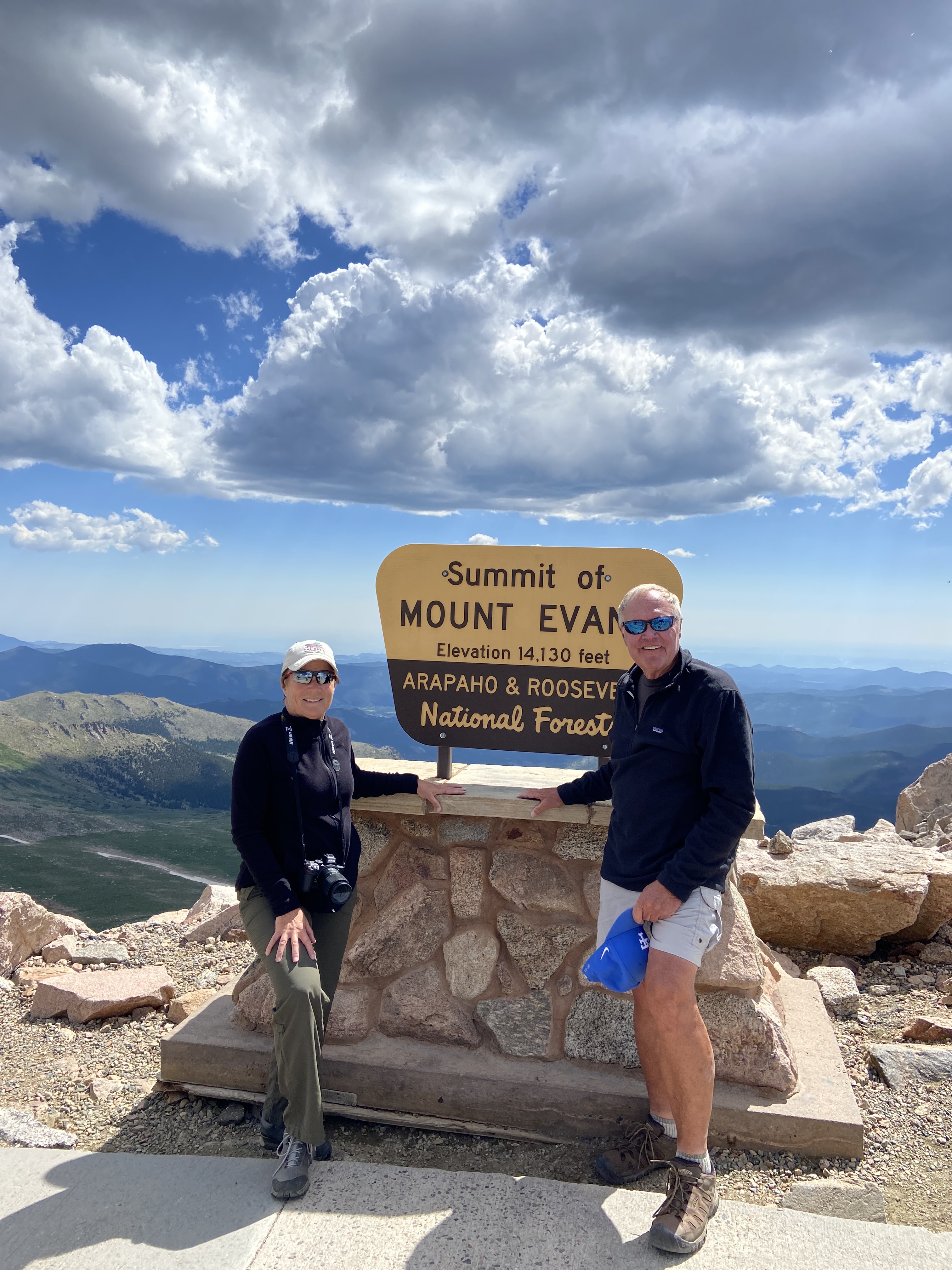
The next day we did a car ride to the top of the mountain. It was amazing and scary at the same time. There are no guardrails only steep drop offs on the side of Mt Evans. We walked a half mile to the top (14264 feet) and it so reminded us of our time on Mt Whitney (14462 feet) in California. It’s as if you are on top of the world and can see forever.
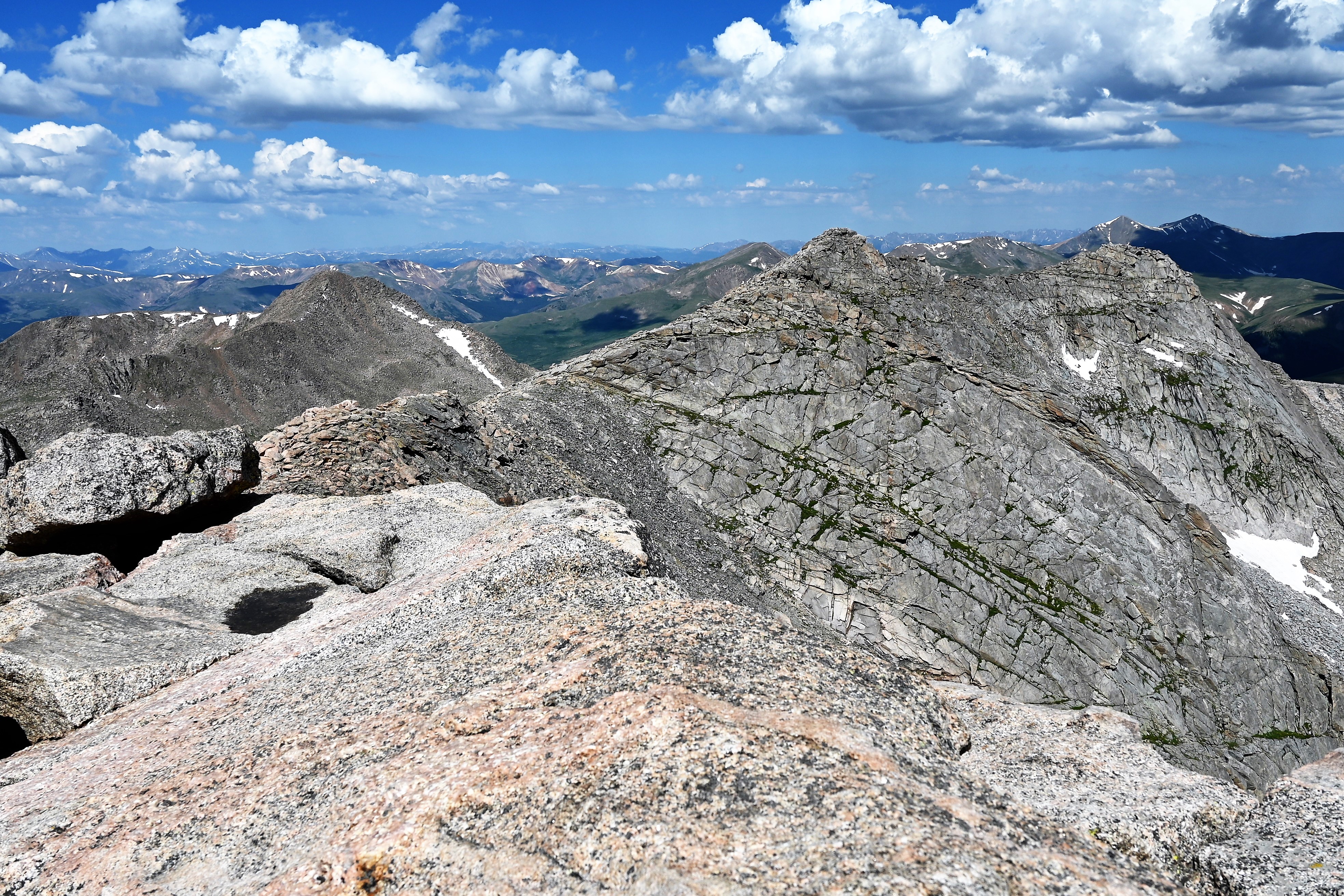
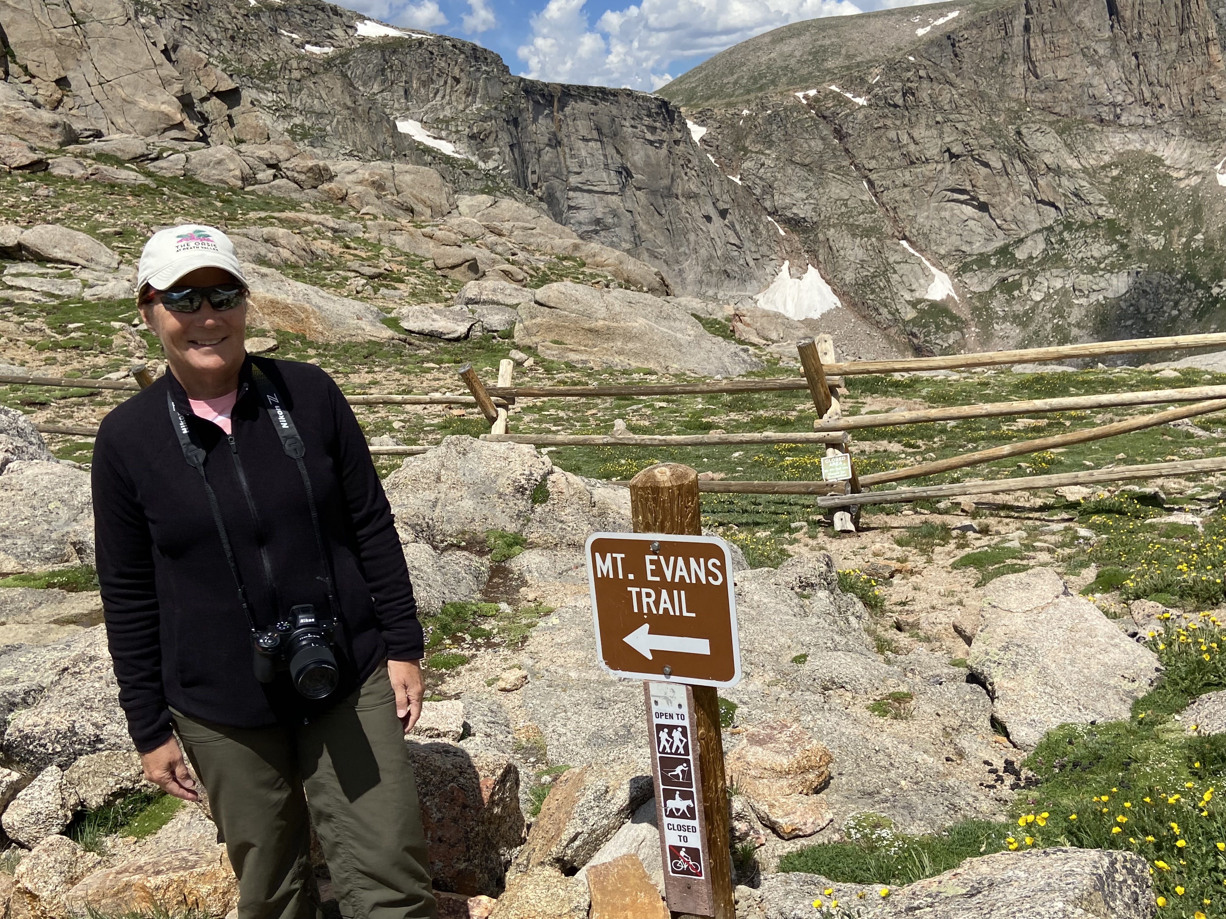
Next we tried to hike from Summit Lake (12830 feet) to the top of Mount Evans. Hmmm a tad to strenuous plus rocky so we bagged that. No we are not wimps, just a tad wiser at our mature age and we know our limitations!


Leave a comment